

Islands destinationMorrocoy National ParkVenezuela | Caribbean Sea
Last updated on 10/08/2026 at 12:16 AM
The Morrocoy National Park is located on the northwestern coast of Venezuela, in Falcón State, along the Caribbean Sea. It protects a vast collection of islets, cayos, beaches, mangroves, and marine environments that form one of the country's most remarkable coastal landscapes.
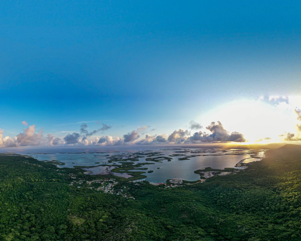
Panoramic aerial view of the mangroves at sunset in Morrocoy National Park, Venezuela © Douglas Olivares | Dreamstime.com
Between the towns of Tucacas and Chichiriviche, the park offers a succession of white-sand beaches, lagoons, mangroves, and turquoise waters. The numerous cayos, including Cayo Sombrero, Cayo Sal, Cayo Muerto, and Cayo Playuela, provide many opportunities to discover the park's landscapes and marine ecosystems.
The cayos and beaches of Morrocoy
An archipelago of small islets
The landscape of Morrocoy National Park is characterized by a collection of cayos and islets scattered offshore. These low-lying islands, surrounded by shallow waters, combine light-colored sandy beaches, tropical vegetation, and seabeds visible from the surface. Venezuela's national parks agency describes Morrocoy as a network of cayos and islets with high biological value that provides an important refuge for marine birds.
Among the best-known sites are Cayo Sombrero, Cayo Sal, Cayo Muerto, Cayo Playuela, and Cayo Peraza. The beaches and calm waters surrounding these islets are among the park's main attractions. Several Morrocoy beaches are officially listed by Venezuelan authorities, including those on Cayo Sombrero, Cayo Sal, Cayo Muerto, and Cayo Playuela.
Cayo Sombrero
With palm-lined beaches and turquoise waters, Cayo Sombrero is one of Morrocoy's iconic sites. The island combines several beach areas with seabeds that are well suited to discovering the coastal environment. Seabed cleanup operations are also organized there as part of the park's conservation efforts.
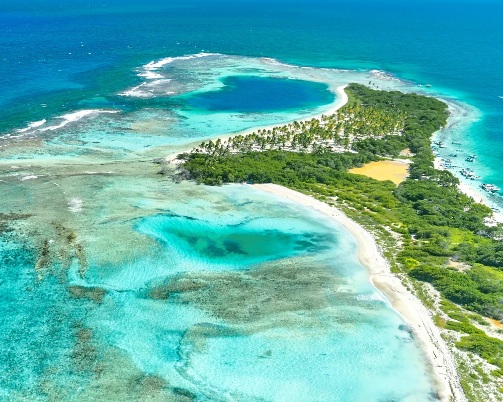
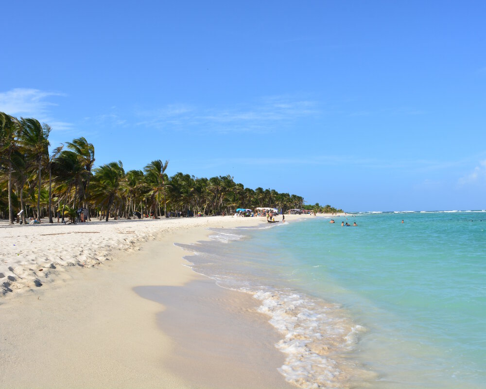
However, the different cayos do not all have the same environment. Some are mainly sought out for their beaches, while others provide better opportunities to observe the mangroves, seagrass beds, and reefs that make up Morrocoy's marine landscape.
Mangroves, reefs, and marine biodiversity
A diverse coastal ecosystem
The Morrocoy National Park protects a range of interconnected natural environments, from coastal mangroves to reefs and seabeds surrounding the cayos. This diversity of habitats explains the area's biological richness and also plays an important role in protecting the coastline.
Mangroves occupy sheltered areas of the park. Their submerged roots provide refuge and nursery grounds for many marine organisms and contribute to coastal stability. The shallow waters surrounding the cayos also create particularly favorable environments for observing marine life.
Coral reefs
The coral reefs are one of the park's main attractions for those interested in exploring underwater environments. Together with seagrass beds and other coastal habitats, they support a wide variety of marine organisms and contribute to the functioning of Morrocoy's coastal ecosystem.
Protecting these environments is an important challenge for the national park. Inparques carries out seabed cleanup operations and awareness campaigns aimed at reducing waste and preserving coastal ecosystems.
An abundant marine bird population
A refuge for birds
Morrocoy's islets, mangroves, and coastal areas provide suitable habitats for numerous species of coastal and marine birds. Inparques describes the park as an area of high biological value and an important refuge for marine birdlife.
The park's different environments provide birds with places to feed, rest, and find shelter within the mangroves and islets. These birds are one of the characteristic features of Morrocoy's landscapes, particularly in the less-visited areas.
Closely interconnected environments
The park's natural richness therefore relies on the close relationship between its different terrestrial and marine environments. Mangroves, beaches, seagrass beds, reefs, and shallow waters form an interconnected system in which each habitat plays a role for wildlife and plant life.
This diversity also explains Morrocoy's appeal for ecotourism. Exploring the park is not limited to its beaches: boat excursions, birdwatching, and discovering the underwater environment allow you to appreciate the different aspects of this protected area.
Tucacas and Chichiriviche, gateways to the park
Tucacas
The town of Tucacas, located east of the park, is one of the main departure points for exploring the Morrocoy cayos. Boat excursions provide access to the islets and beaches located offshore and allow you to reach different parts of the park.
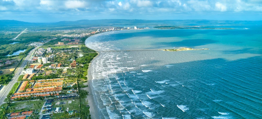
Aerial view of Tucacas, the southern gateway to Morrocoy National Park, Venezuela © Rommel Gonzalez | Dreamstime.com
Tucacas is close to one of the park's main areas of mangroves and channels. Its location makes it a convenient starting point for discovering the coastal landscapes and visiting several cayos on a day trip.
Chichiriviche
To the west, Chichiriviche is another important gateway to the national park. Located along the Caribbean Sea, the town provides access to the cayos situated offshore from this part of the coast.
The choice between Tucacas and Chichiriviche mainly depends on the sites you want to discover and your itinerary. In both cases, boat excursions are the main way to explore the islets and the park's different marine landscapes.
How to get there ?
From Caracas
To reach Morrocoy National Park from Caracas, head west toward Falcón State. The main access points to the park are around Tucacas and Chichiriviche. From there, roads lead to the coastal areas where boat excursions to the cayos depart.
Because Morrocoy is relatively extensive, it is best to choose your arrival point based on the sites you want to explore. Tucacas is particularly suitable for excursions to the cayos in the eastern part of the park, while Chichiriviche provides access to the western areas.
By boat to the cayos
The different cayos in the park are mainly accessible by boat from the coast. Excursions provide access to the best-known beaches and islets, including Cayo Sombrero, Cayo Sal, Cayo Muerto, and Cayo Playuela. Access conditions and available services may vary depending on the area and time of year.
Once on the cayos, most travel is on foot or by boat between the different sites. To help protect the natural environment, it is important to respect protected areas, avoid damaging coral, and take all your waste with you.
The islands from caribbean Sea
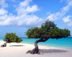
Aruba island
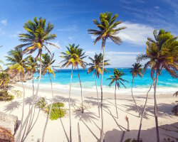
Barbados island

Grand Cayman island
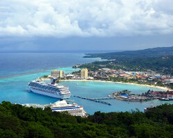
Jamaica
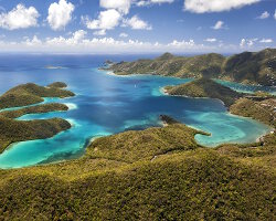
St. John island
The Dominican Republic
U.S. Virgin islands
Virgin Gorda island
Explore new islands
Bimini islands
Deception island
Donoussa island
Hamilton island
Lokrum island
Medes islands
New-Zealand
Schinoussa island
Our latestUpdates
Milos IslandDiscover Milos Island in the Cyclades, known for its volcanic landscapes, crystal-clear beaches, traditional villages, and the famous Venus de Milo.Read more
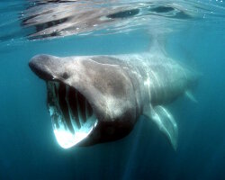
The basking sharkDiscover the basking shark (Cetorhinus maximus), the world's second-largest fish. This huge shark feeds on plankton by filtering large amounts of water.Read more

The Banggai cardinalfishDiscover the Banggai cardinalfish (Pterapogon kauderni), a small marine fish endemic to the Banggai Islands, known for its black-and-white stripes and unique reproductive behavior.Read more
Photo of the Day
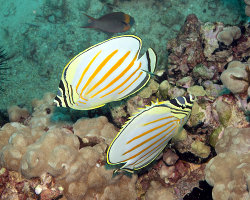
Poisson papillon orné
(Chaetodon ornatissimus)
(Chaetodon ornatissimus)
 Copyright © 2007-2026 auxBulles.com - All rights reserved. Legal notices.
Photo credits - Our partners